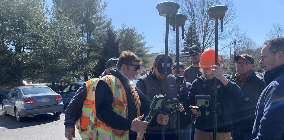
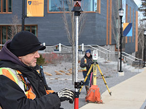
TFM Land Surveyors utilize the most advanced field and office surveying technologies to provide cost-effective, efficient, and timely results. With the advanced technology of the Leica GS 16 and GS18, our surveyors obtain detailed information more efficiently. The Leica GS 16 and 18 systems provide the fastest GNSS (Global Navigation Satellite System) and RTK (Real-Time Kinematics), meaning data can be collected in the field while being received in the office. The GNSS provides positioning and navigation, by collecting data from satellites.
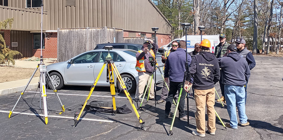
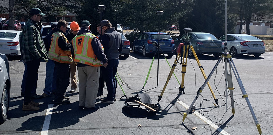
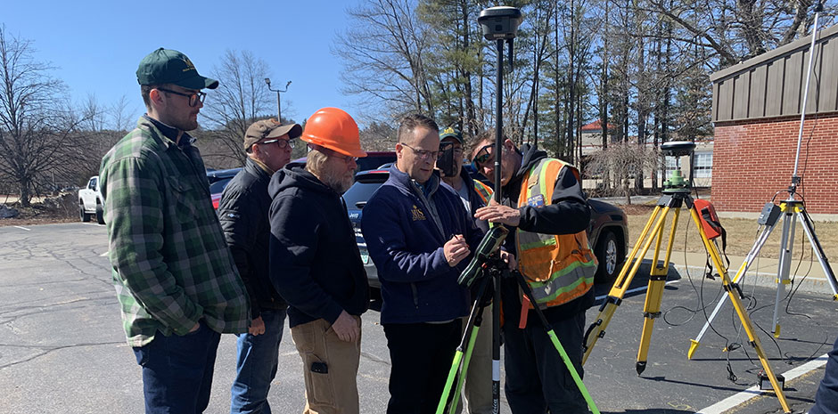
Our Bedford office team had a beautiful day for training with the new equipment by a representative of Leica Geosystems back in March.
